Introduction
Revision History
| Date | Author | Summary |
|---|---|---|
| 06-JAN-2020 | TSgt. Bernadotte | Initial draft |
| 08-JAN-2020 | TSgt. Bernadotte | Added instructions for verifying tool status |
| 02-APR-2022 | TSgt. Bernadotte | Re-written for CVA/H 3.6 MIP |
| 16-NOV-2022 | TSgt. Bernadotte | Added instructions for Google Earth Desktop |
| 16-NOV-2022 | TSgt. Bernadotte | Added tip for plotting routes |
| 21-APR-2025 | TSgt. Bernadotte | Re-written for CVA/H 3.8.1 MIP |
Purpose
he purpose of this document is to provide a set of procedures for performing War-Driving with the goal of discovering the location of wireless APs (access points). This SOP utilizes gpsd for obtaining GPS information, Kismet for passively detecting 802.11 APs, and Google Earth for visualizing the physical locations of discovered APs.
Requirements
Equipment
-
A CVA/H MIP (v3.6.0+)
-
BU-353S4 GPS USB dongle(or similar)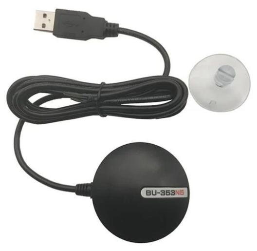
-
ALFA Atheros AR9271 Wi-Fi USB adapter(or similar - with monitor capabilities)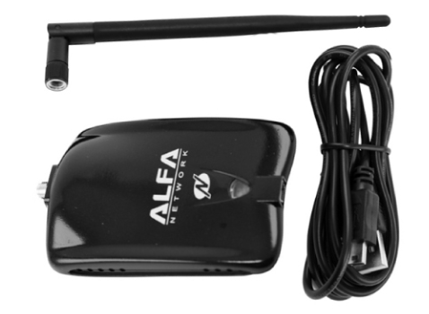 note
noteThe
ALFA Atheros AR9271 Wi-Fi USB adapteris only capable of detecting 2.4GHz wireless networks and not 5GHz. This can be substituted with any dual-band 802.11 adapter that operates on both 2.4GHz and 5GHz in monitor mode such as the ``.
Operating System
- Kali Linux VM (found in the AppStore or PMO external HDD)
Kali Additional Software Requirements
The VM will need to initially be connected to the internet in order to install the required software.
libgps-devgpsdgpsd-toolsgpsd-clientspython3-gpslibxml-simple-perljqkismetgoogle-earth-pro-stable
Considerations
-
Account for the battery life of the MIP you will be using to conduct the war-driving and how far it will be able to travel during the war-drive before dying – it is suggested to break-up your pre-planned route into sections or bring additional MIPs/batteries and stitching the data together after execution
-
Account for outdoor weather such as rain or snow affecting personnel and the MIP
-
Account for covered areas that may not have GPS reception